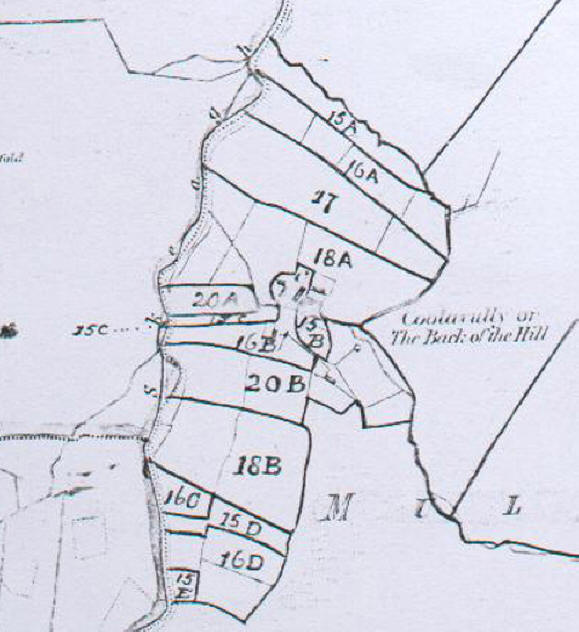
| Cullyvully Clachan in the Townland of Mullaghsandall This is a copy of the six inch map which accompanies the Printed Griffith’s Valuation of Ireland circa 1860. This map shows where the plots of land and houses listed in the Printed Valuation were located within this townland. Capital letters refer to plots of land and lower case letters to houses. Unfortunately, it is often very difficult, if not impossible, to identify lower case letters on the map. Cullyvully was one of three clachans in this townland – see either the Ligg or Cruck Valyation Map 1860 to see where Cullyvuly was located within the townland relative to the other two clachans. Have a look at the colour coded version of this map.
|