The Ordnance Survey (OS) of Ireland was established in 1824, under the direction of Colonel Thomas Colby, assisted by Lieutenant Thomas Larcom. The purpose of the survey was to conduct a townland survey of Ireland and to map the entire country at a scale of 6 inches to one mile. The creation of the map element of the project was completed by 1842, and a full set of maps exists for each Irish county. The object of the survey was to update land valuations for land- tax collection. The original survey at a scale of 6 inches to 1 mile was completed in 1846 and Ireland became the first country in the world to be entirely mapped at such a detailed scale.
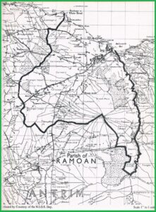
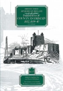
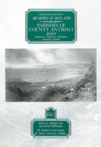
OS Memoirs recorded by those carrying out the survey were compiled in the 1830s. These contain descriptions of local features and items from the distant past that could not easily be presented in map format on the OS maps. The OS Memoirs are arranged by county and parish and contain information on landscape, topography, population, economy and society, as well as recording features of antiquarian interest. They include some small pen-and-ink sketches recording details of archaeological and antiquarian features. OS Memoirs do not exist for every county because government funding for the scheme was withdrawn in 1839-1840 before research had been conducted on the southern half of the country. OS Memoirs exist for counties Antrim, Donegal, Down, Fermanagh, Derry and Tyrone, together with a small amount of material relative to some parishes in counties Cavan, Monaghan, Leitrim, Louth and Sligo. (The Royal Irish Academy)