The North Star Dyke
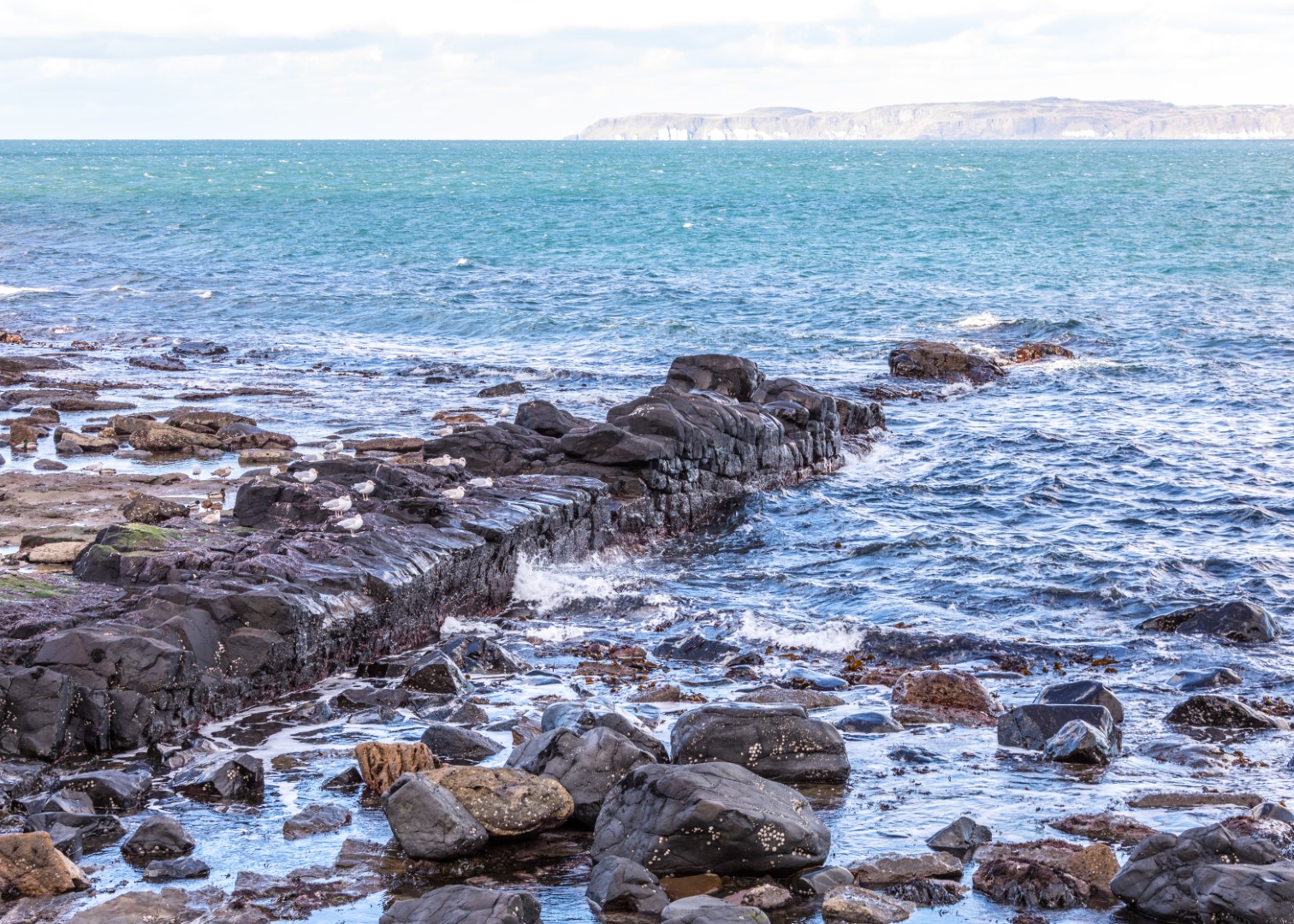
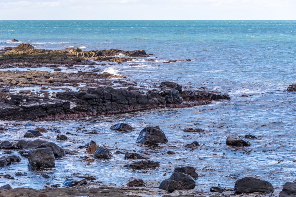
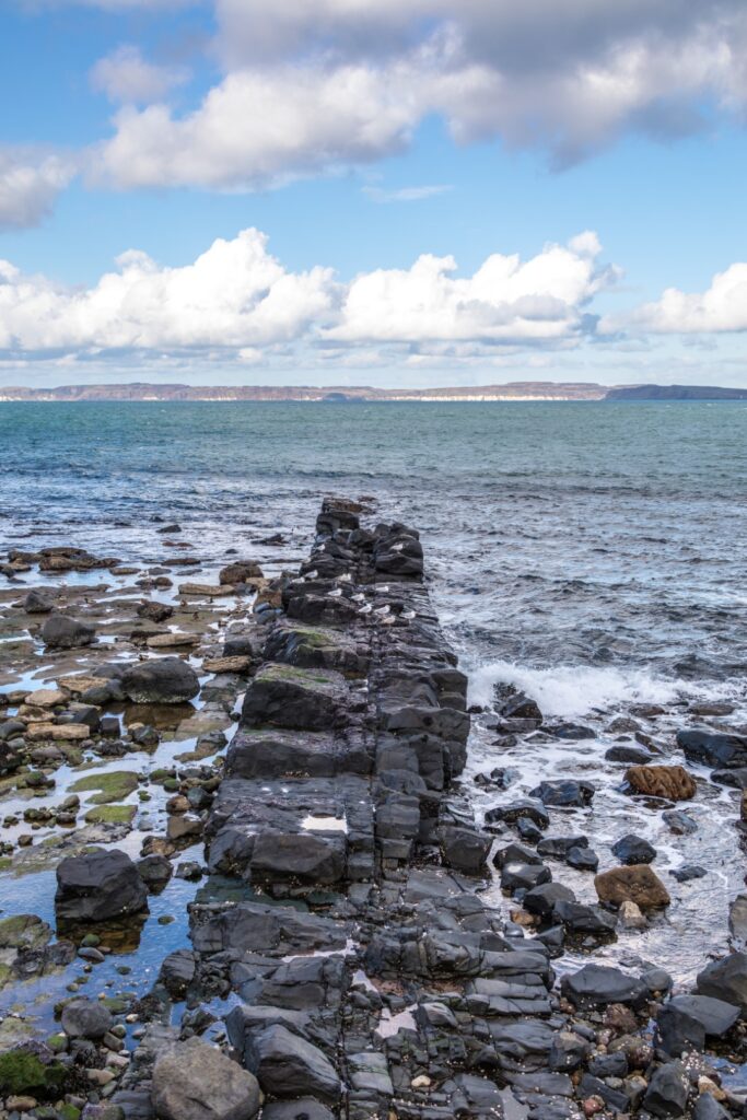
Walkers nearing the end of the Carrickmore Road, east of Ballycastle, are often mystified by what looks like a man-made structure, a rock pier some five metres wide stretching out into the sea for over a hundred metres and continuing under the surface.
This is in fact the famous North Star Dyke, so-called because it points directly and with unerring straightness towards the North or Pole star. The Dyke is a geological phenomenon formed during a period of intense volcanic activity which occurred along the North Antrim coastline in the Palaeocene era, around sixty million years ago.
Geologists explain how the Dyke was the result of “igneous intrusion” – when molten igneous rock forced its way upwards to the surface through a long crack or fault in the overlying sedimentary rocks, before cooling. Over millions of years the adjacent softer rocks have been eroded, leaving the Dyke standing about one and a half metres clear of the surrounding surfaces. The rock type is olivine dolerite, with its distinctive black colour making it highly visible, especially when viewed at low tide.
The North Star Mine
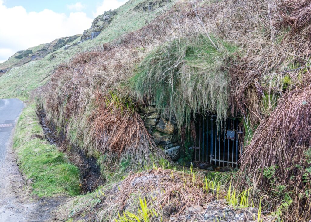
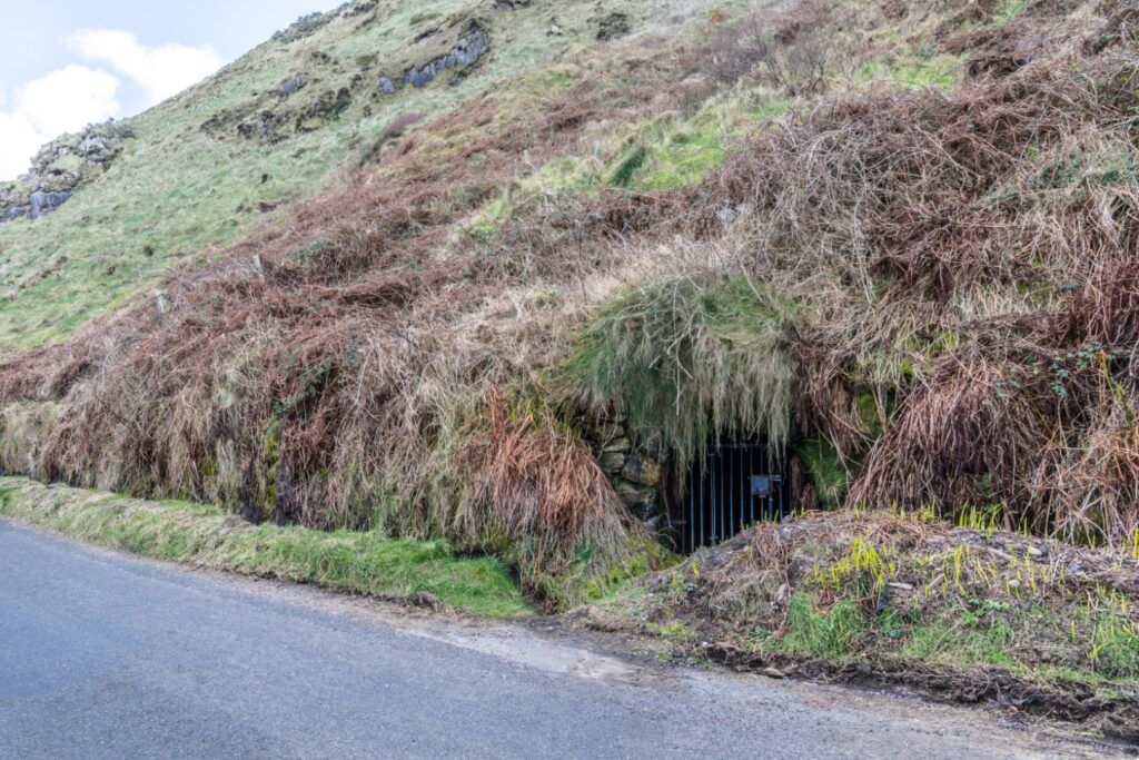
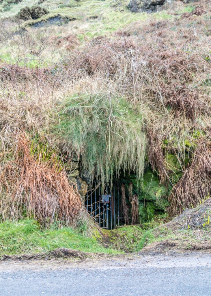
Immediately opposite the Dyke, on the other side of the narrow road, is the North Star Mine, the only remaining visible mine entrance of the Ballycastle coalfield, the last area of commercial coal extraction in Northern Ireland. Coal was mined in various places along the Carrickmore Road from at least the sixteenth century, with the last mine closing in 1967.
Ballycastle coal, mostly of inferior quality and mainly used for industrial purposes, was originally exported from small piers along the Carrickmore Road. Coal mining expanded in the eighteenth century, when Hugh Boyd, Ballycastle landlord, industrialist and owner of the mines, constructed a harbour to ship coal to Belfast and Dublin. He also used the coal from his mines to fuel some of his industries in Ballycastle, in particular the Glassworks. Coal from the North Star Mine was probably also used as fuel for the Salt Pans located along this stretch of shore.
Like the other mines in the area, the North Star mine was cut directly into the horizontal coal seams that surfaced on the cliffs and hills along the shore. The North Star Mine with its intact stone-built entrance and drainage conduit is now blocked off by a metal grille for health and safety purposes.
This post is part of the What’s That? Project. Funded by The Community Arts, Culture and Heritage Fund & The Community Foundation for NI. The aim of the project is to highlight local historical sites and give people a short history of what is there. Photos by John Healy.