What’s that? – Sleans Congregational Church, Cushendun…

Sleans Church sits high on a hill overlooking Cushendun. Little is known of its history apart from what we can learn from the ruins. It was built in 1833 during the period when Nicholas Crommelin was trying to develop Cushendun as a significant port. The other ruins beside the church would suggest living quarters for … Read more

What’s that? – Skerry Old Church…

St. Patrick and Slemish mountain have been synonymous with each other for hundreds of years. Slemish remains a place of pilgrimage and interest especially around St. Patrick’s Day when crowds flock to it. Opposite Slemish on Skerry Rock stands the ruins of Skerry Old Church and graveyard. Legend says that Milchu, the young Patrick’s slave … Read more

What’s that? – Red Bay Castle…

The ruin of Red Bay Castle stands prominently on the headland between Cushendall and Waterfoot and is easily seen from the Antrim Coast Road. A view of the south side of castle, which is on private land, can be had from the inland Middlepark Road. The present remains are one wall of a two-story Tower … Read more

What’s that? – Culfeightrin Old Church, Ballycastle

The remains of this mediaeval church sit on a height in the middle of a field in Churchfield townland, overlooking Ballycastle—and are accessible on foot from an information point on the Churchfield Road. The site gave the area its names, with the current English townland name of Churchfield being a translation of the older Gaelic … Read more

What’s that? – Altagore Cashel…

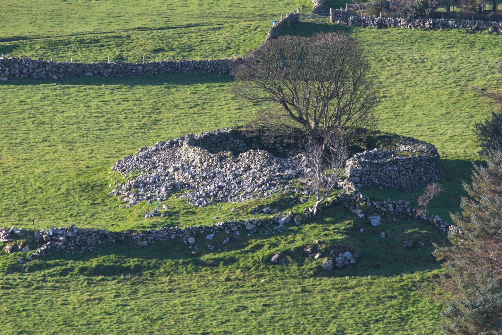
Ravine/stream of the goat Altagore cashel is plainly visible from Dan Nancy’s Brae up the Torr Road. It is west of the coastal road from Cushendun to Ballycastle, about 2.0 km north of Cushendun. There is estimated to be the remains of over 40,000 ring forts in Ireland, the cashel being the stone equivalent of … Read more

What’s that? – Tieveragh…

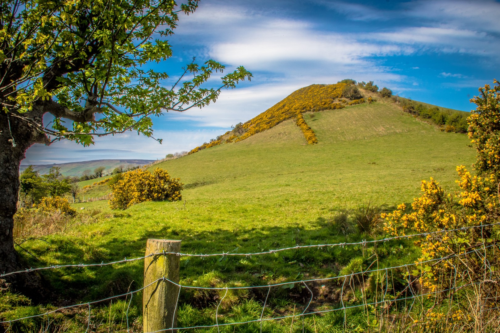
Tieveragh (hillside of the raths) is an outstanding example of a volcanic plug and is very visible from the surrounding roads. The raths, two of, are well behind Tieveragh on the other side of Glenville Road in the townland of Coshcib. Tieveragh, Tievebulliagh and Slemish are volcanic plugs formed 60 million years ago after volcanic … Read more

What’s that? – Cushendun Mass Rock…

Many people believe that the Mass Rock at Innispollen was a penal Mass site but we now know that in this part of North Antrim, as it belonged to the Earl of Antrim, himself a Catholic, priests moved about fairly openly. The Church at Craigagh had fallen into ruin and it is probable that the … Read more

What’s that? – Old Ardclinis Bridge…

About two miles from Waterfoot, towards Carnlough, the remains of a well-constructed double arch bridge can be seen in a field (private land) on the coastal side of the Antrim Coast Road. It crosses the Ardclinis Burn but in fact it now appears to serve no purpose, agricultural or otherwise. In fact, it is a … Read more

What’s that? – Tievebulliagh…

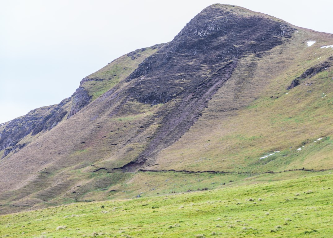
Tievebulliagh (1348ft) A very prominent peak within the middle Glens is usually translated as ‘the hillside of the booleying’ (summer grazing), it is however much more famous for its porcellanite axes. Our early ancestors (5000BC-3000BC) would have been attracted by the profusion of sharpish edged stones among the scree at the foot of the rock … Read more

What’s that? – St Patrick’s and St Brigid’s Church and Cemetery, Glenariffe…

The Church of St Patrick and St Brigid must be one of the most scenically situated churches in the country and, tucked into a corner of Red Bay, its simple architecture complements its surroundings. Completed in 1917, the walls are of local sandstone which was sourced from a quarry in Coskib townland near Cushendall, and … Read more