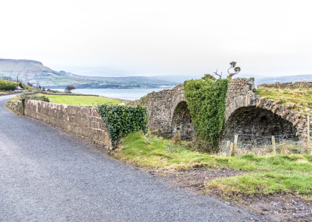
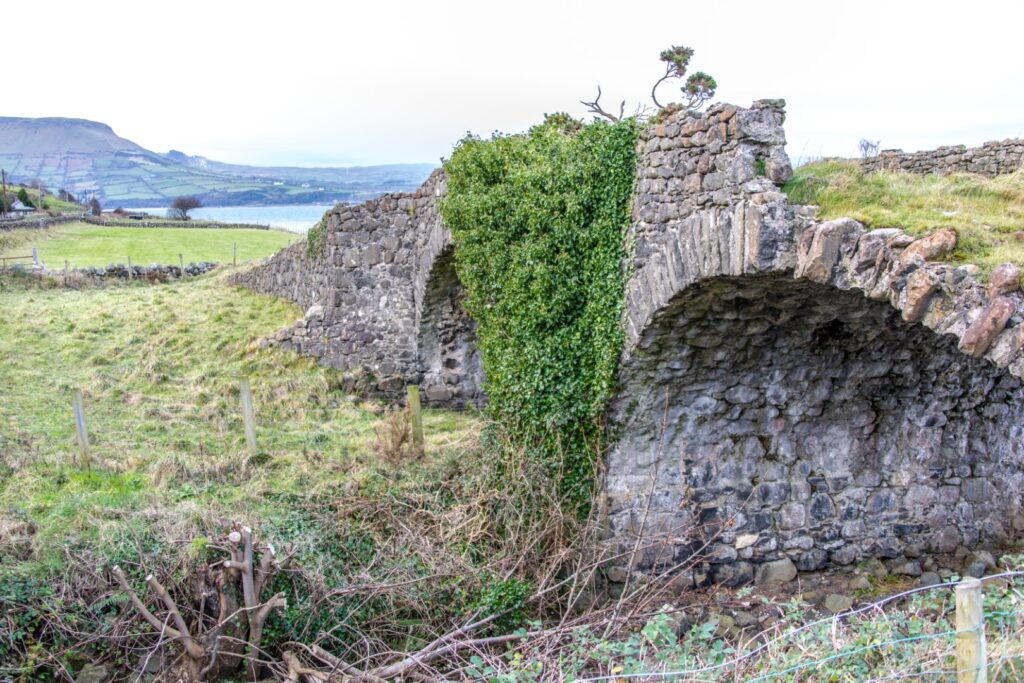
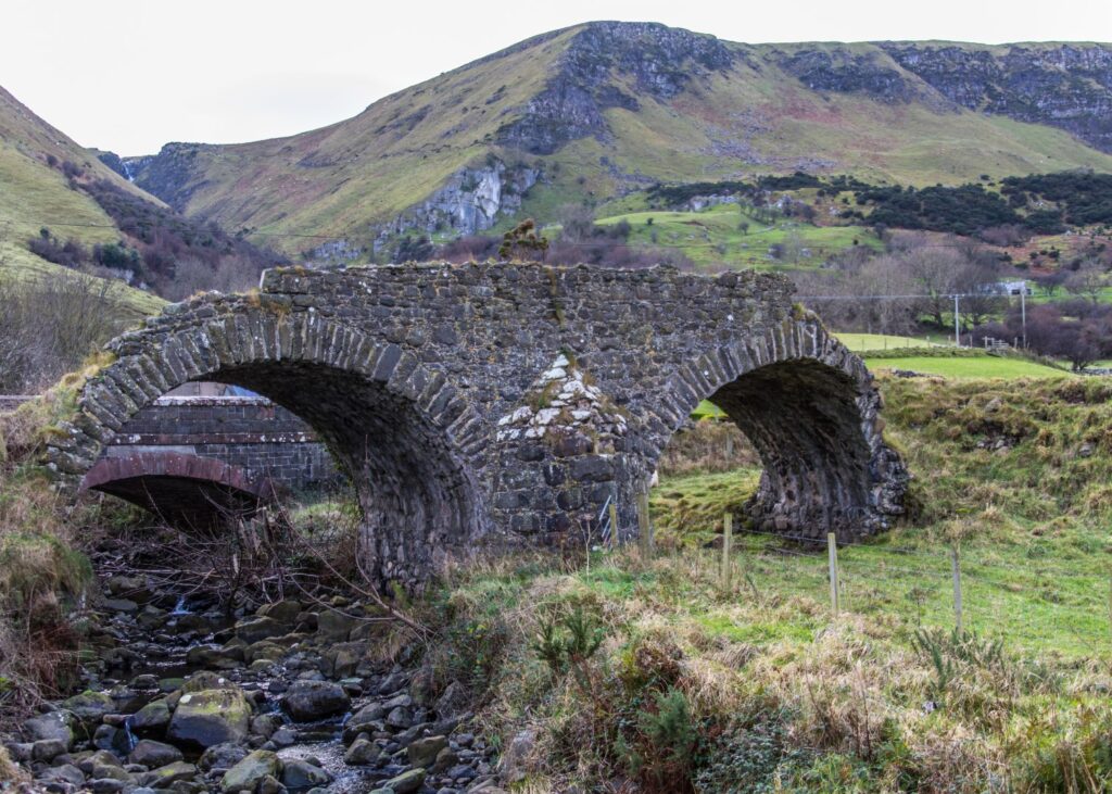
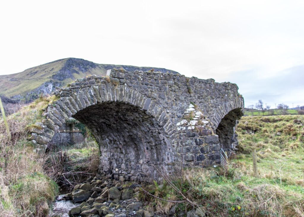
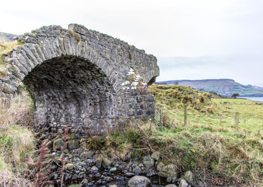
About two miles from Waterfoot, towards Carnlough, the remains of a well-constructed double arch bridge can be seen in a field (private land) on the coastal side of the Antrim Coast Road. It crosses the Ardclinis Burn but in fact it now appears to serve no purpose, agricultural or otherwise. In fact, it is a remnant of the Old Coast Road which existed prior to the construction of the present road designed by the Scottish Engineer, William Bald. It has been suggested that the bridge was constructed not long before the new road was planned in the 1830s and it could be speculated that it was in fact another project carried out by Francis Turnley to improve his journey between his Carnlough estate and Cushendall which he purchased in 1813. In 1817 he drove a tunnel through The Red Bay headland leaving the Red Arch and about 1822 cut through a limestone cliff on present Tower Road creating “The Cut Rock”.
There are several interesting features about the bridge. It has a cut-water, that is a v-shaped projection at the base of the central pillar which normally would point upstream but, in this case, it is on the downstream side towards the sea, presumably to protect the bridge from stormy high tides. The Ardclinis burn only flows under one arch leaving the other completely dry but the use of the double arch would have provided a longer, flatter roadway on top for horse-drawn transport. In addition, the bridge is wider than might be expected for its time being 18ft from wall to wall.
A ramp, which is even wider, descends from the bridge, and the road then led away from the coast and over the small headland known as Drumadried or, locally, The Dog’s Nose. This was typical of the uphill and downdale layout of the old coast road. From Carnlough, for example, the road followed the inland plateau, now Largy Road, through the Turnly’s Drumnasole Estate, over Garron Point past the fort of Dunmaul and dropped steeply to the coast by the Foaran Path and on past Ardclinis to Cushendall. William Bald’s great idea was to blast and dig down the headlands creating a base for a level road from Larne to Cushendall and then across the mountain to Ballycastle. The section at Drumadried was one of the first to be completed in 1834 while that at Garron Point was the last, in 1844, completing the world-famous Antrim Coast Road of today.
This post is part of the What’s That? Project. Funded by The Community Arts, Culture and Heritage Fund & The Community Foundation for NI. The aim of the project is to highlight local historical sites and give people a short history of what is there. Photos by John Healy.