What’s that? – The Barbican Gate, Glenarm…

Situated at the foot of Castle Street in the village of Glenarm is an imposing gateway, the entrance to Glenarm Castle. Up until the 1820’s the bridge at Castle Street was the only crossing point for the Glenarm river. An original bridge at that place had been swept away in a flood in the early … Read more
What’s that? – Old Ardclinis Church and Crozier Waterfoot…

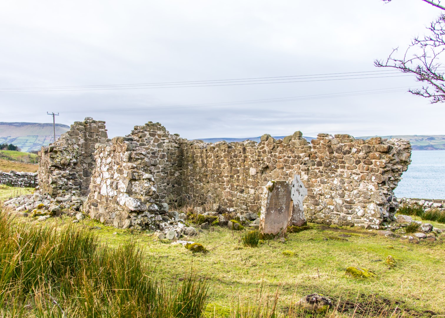
A small carpark and sign about 2 miles south of Waterfoot indicate the site of the Old Church of Ardclinis which is the name of the Townland and also of the Civil Parish. The Church Ruins are a short distance inland and may be visited courtesy of the landowners. The earliest reference to the church, … Read more

What’s that? – The tunnel at Glenarm…

This tunnel hosted a light railway linking the Glenarm town quarry with the harbour. It appears that the buggies or wagons that carried the limestone from the quarry to the boat were drawn by horses. There is no record of steam propulsion. There was little, if any, gradient between the terminals so the rail made … Read more

What’s that? – Layde Old Church and Graveyard, Cushendall…

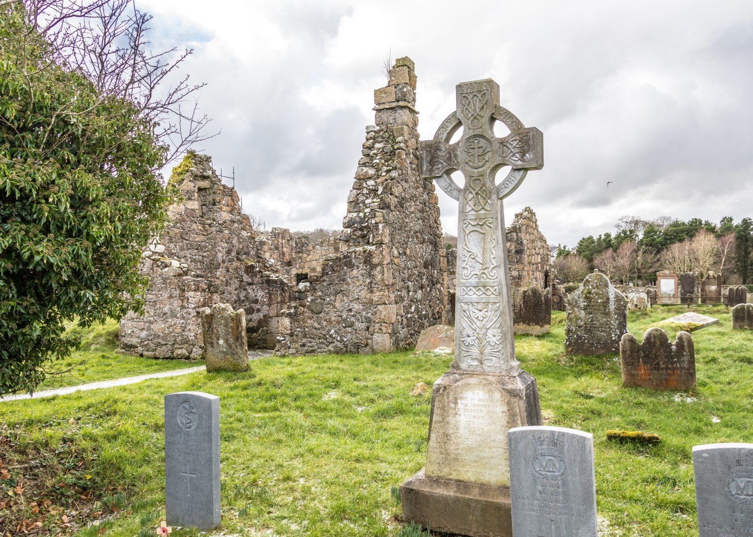
Possibly an early Franciscan Friary but it probably pre-dates the earliest Franciscan foundations (i.e 13th century).  Included in the ‘Taxation of Pope Nicholas’ (1291-92) hence parish worship; likely abandoned at Dissolution of the Monasteries (1536-40).  Repaired for Church of Ireland worship and three generations of McArthur family served as curates there for 100 years (1696-1796) … Read more

What’s that? – Lurig mountain, Cushendall and Waterfoot…

Lurigeadan (1154ft) ‘the ridge of the face or brow’ or Lurig as it is commonly called, looks down on Cushendall and Waterfoot.  On the top can still clearly be seen the remains of fortifications which once enclosed about 40 acres (16 hectares).  Promontory forts, were likely permanent settlements rather than just refuges in times of … Read more

What’s that? – North Star Dyke and North Star Mine Carrickmore Road, Ballycastle…

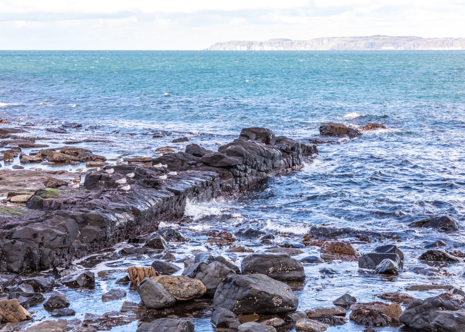
The North Star Dyke Walkers nearing the end of the Carrickmore Road, east of Ballycastle, are often mystified by what looks like a man-made structure, a rock pier some five metres wide stretching out into the sea for over a hundred metres and continuing under the surface. This is in fact the famous North Star … Read more

What’s that? – Crockancarra clachan, Fair Head…

Crockancarra clachan is situated in the townland of Cross, Fair Head.  It consisted of three houses built of stone with a thatched roof.  Traditionally, they were one storey high and had approximately two to three rooms each.  The occupants of these houses were people who farmed the surrounding land, which was rented from the Landlord, … Read more

What’s that? – The Sundial on Boyd’s Church in Ballycastle…

There is a sundial high up on the southern wall of the tower of Holy Trinity Church – a church locally known as ‘Boyd’s Church’.  The sundial tells the time of day, when there is sunlight, by the position of the sun in the sky.  A narrow rod, called a gnomon, (the Greek word for … Read more

What’s that? – Black Nun’s Grave at Bonamargy Friary, Ballycastle…

At the now ruined west door of the entrance to Bonamargy Friary there is a holed stone cross which is said to mark the grave of the legendary prophet and recluse, Julia McQuillan, known as ‘The Black Nun’. Julia was the only McQuillan known to have been buried in Bonamargy, despite the fact that the … Read more

What’s that? – The Broughanlea Cross, Ballycastle…

The Broughanlea Stone (Bruachán Laith) which means “Small grey bank”, is situated on the outskirts of Ballycastle, about a mile along the Cushendall road opposite Collier’s Hall.  It is on the roadside between the ruins of the Friary of Bunamargy (Bun na Margie) which means the foot of the Margy river, and the church of … Read more